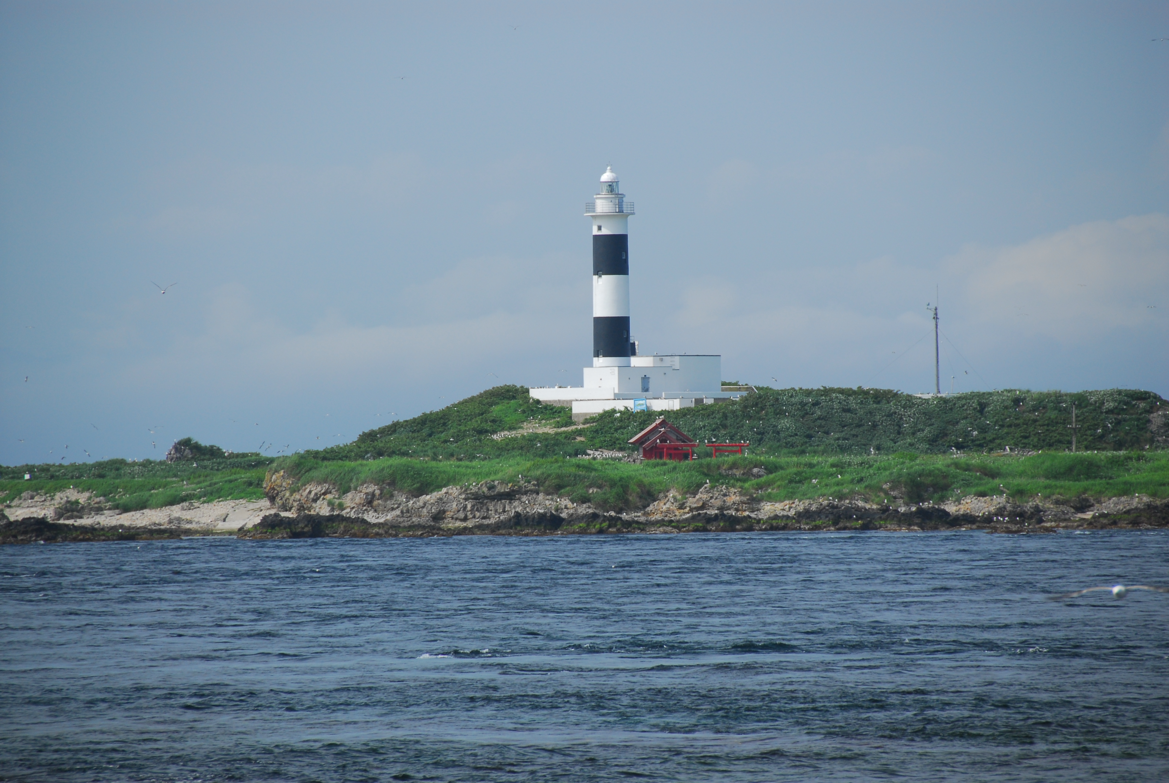
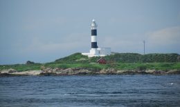

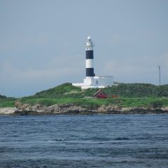
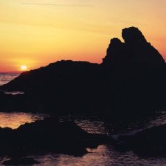
Benten Island is an island with a circumference of about 1.8km, located 600m offshore from Cape Oma. The sight of the beautiful contrast between the red of Benten Shrine and the black and white pattern of Omazaki Lighthouse standing out in the Tsugaru Strait is the pride of Cape Oma. The area around Benten Island has strong currents and is a dangerous sea area dotted with reefs, and there have been many accidents at sea, so fishermen still pray to Benten when passing through. Benten’s strongest ally is Omazaki Lighthouse. Its black and white pattern makes it stand out clearly even midday while at sea. In 1921 when Omazaki Lighthouse was first lit, the safety of the sea was supported by the lighthouse keepers who endured the inconveniences of living on a remote island. Since the lighthouse went unmanned in 1991, Benten Island has become a major breeding ground for seagulls and black-tailed gulls since none of their natural predators live on the island. It is a paradise for more than 10,000 seabirds.
★Omazaki Lighthouse Information: One of Japan’s Top 50 Lighthouses
Light Height: 36m (from sea level to the center of the light)
Light Type: Group flashing, white light – 3 flashes every 18 seconds
Light reach: 12 nautical miles (approximately 22km)
★Visit the Omazaki Lighthouse virtually! Land on Benten Island and enjoy 360-degree panoramic and VR images of the interior of the lighthouse, which is not open to the public, and the scenery from the landing. Content is from the 100th anniversary of the lighting of Omazaki Lighthouse in 2021.
★★★Click here for Omazaki Lighthouse One Tap View! (Aomori Prefectural Coast Guard Website)★★★
- ホーム
- Tourism Information
- Benten Island and Omazaki Lighthouse
Tourist Attractions
-
 Cape Oma (Omazaki)
The distance between Cape Oma and Cape Shiokubi in Hakodate City is only 17.5 kilometers over the Tsugaru Strait. On a c…
-
 Benten Island and Omazaki Lighthouse
Benten Island is an island with a circumference of about 1.8km, located 600m offshore from Cape Oma. The sight of the be…
-
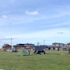 Cape Oma Tent Site
Honshu’s northernmost campground. Adjacent to the Cape Oma parking lot with nearby food stands and restaurants to order …
-
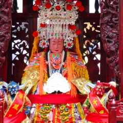 Oma Inari Shrine and Tenpi Shrine
Inari Shrine was built in 1730. From 1873 on, the shrine became a place of worship for Tenpishin (Tenpi Maso Daikongen).…
-
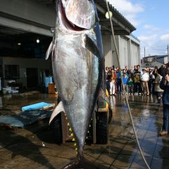 The Landing Place at Oma Port
The tuna fishing season in Oma runs from about July to the beginning of the new year. If a tuna is caught, the fishing b…
-
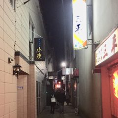 Oyafuko Street
A street full of bars, places to drink, and other nightly shops. Let the lively ladies from our fishing town entertain y…
-
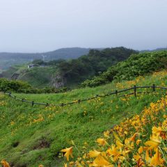
 Nishifukitsukeyama Observatory
At Nishifukitsukeyama, you can see Hakodate in Hokkaido on one side, and Tsugaru Peninsula in Aomori Prefecture on the o…
-
 Akaishi Coast
The coast is a 15 minute drive from Oma on National Route 338 towards Sai. Rocks of many different shapes and sizes jutt…
-
 Cape Tsubana (Tsubanazaki)
If you head towards Sai from Akaishi Beach, you will find a coastline of pillar-shaped rocks called the Zaimoku Rocks. C…